GeoGlimpse GIS and Web Map Services
Who We Are
We are a web-based information mapping technology firm with offices in Melbourne Florida, Chattanooga Tennessee, and Budapest, Hungary.
Rayner Howard, founder and CEO, has 30 years of GIS experience and has spent 15 years creating and publishing web maps.
We understand that the future of GIS is on the web and in the cloud, and that a one-size-fits-all solution doesn’t work for everyone.
What We Offer
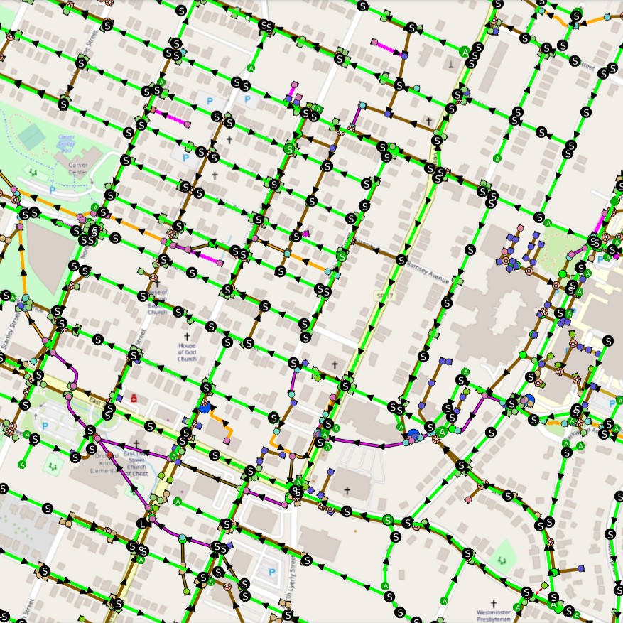
GeoGlimpse offers a unique approach to web mapping. Rather than provide a one-size-fits-all solution, we work one-on-one with our clients to:
- Assemble the GIS data
- Create a GIS project to exact specifications
- Publish the GIS project to the web
- Implement feature search and address lookup
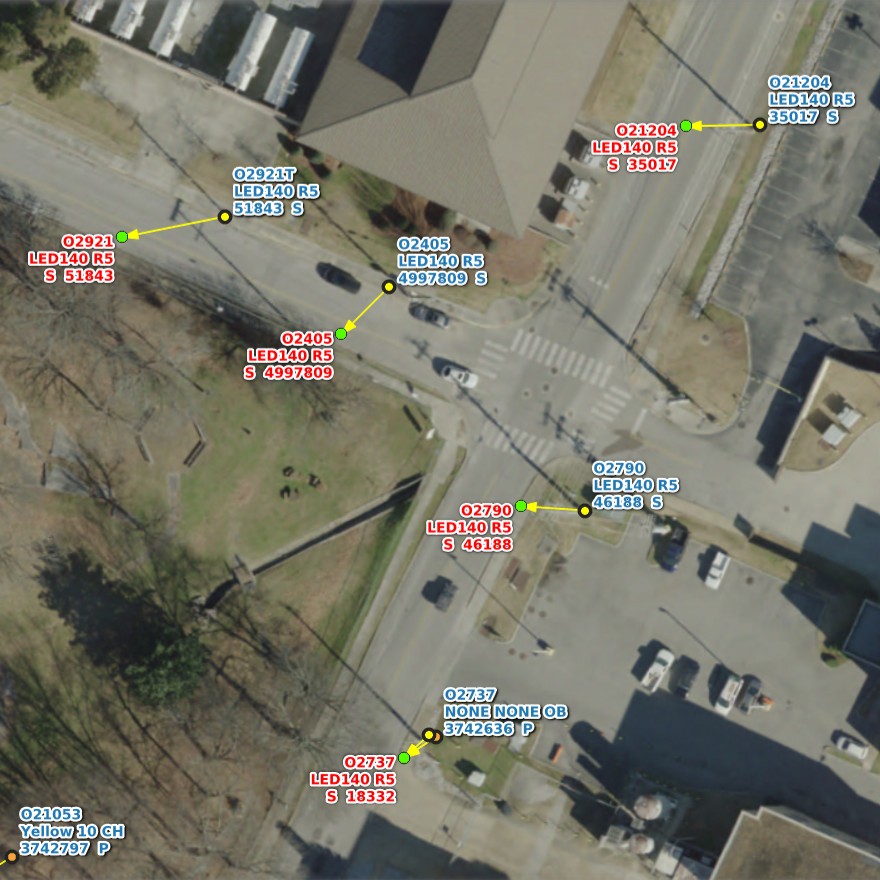
- Link images and PDF files to features
- Host, manage, and update the Web GIS
Our Advantage
We work closely with our clients to customize the Web GIS experience and the look and feel of each web map.
This sets us apart from other vendors who try to shoe-horn everyone into the same web application interface using the same formula and identical look and feel.
We craft uniquely useful and performant web maps to client specifications.
Our Services
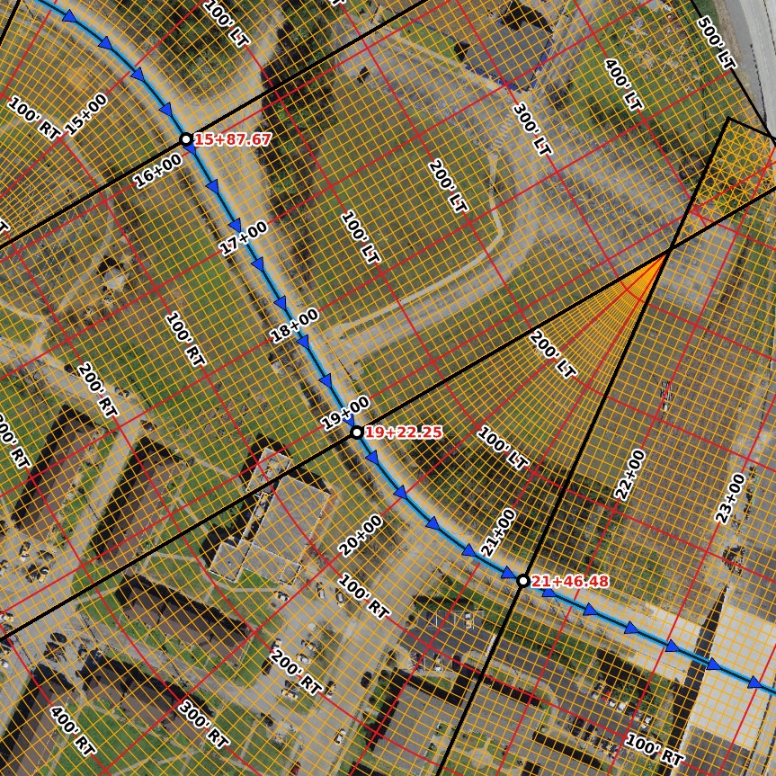
We’re here to help you track down and assemble the data, load it up into QGIS, make it look and behave the way you want, and publish it to the web.
Our web mapping team has many years of experience with QGIS and web mapping software. We’ll display your data with the symbols and labels you have in mind, on top of the basemap of your choosing.
Once it’s ready, we publish the GIS project to the web and host the Web GIS for you. We’ll also handle the GIS data updates.
Our Guarantee
You’ll work with one of our Web GIS experts. We both look at the same screen over the Internet and set up your GIS project together.
Prefer to set it up yourself? No problem. Once everything is looking and behaving the way you want, we’ll upload the data and the project to our VPS and make it available as an interactive Web GIS.
We guarantee 99.99% service uptime.
reliable and stable, responsive and intuitive
We use proven open source Web GIS software
Creating a GIS project and publishing it to the web isn't easy. Other Web GIS companies use a one size fits all formula. We listen to your specifications and design a Web GIS with you.
Search your GIS features
- Enter a unique feature ID or name into the search bar. The map is zoomed to that location automatically and the feature is highlighted.
Find addresses and points of interest
- Enter an address or point of interest into the search bar. The map is automatically zoomed to that location at a scale you specify.
Link and view photos and PDFs
- Attach photos and PDFs to your data. When you click on a feature, you'll have the option to view an associated photo or a PDF file.
View web maps on all screen sizes
- The Web GIS is responsive. This means it's designed to work on all screen sizes. This includes mobile, tablet, laptop and desktop screens.
Track your location in the field
- Take your mobile device into the field and show your location on the web map. This helps you locate features in the field quickly.
Choose your basemap
- Set up a default basemap and add other basemaps to the map that users can choose from. Aerial photos, open street map, or custom.
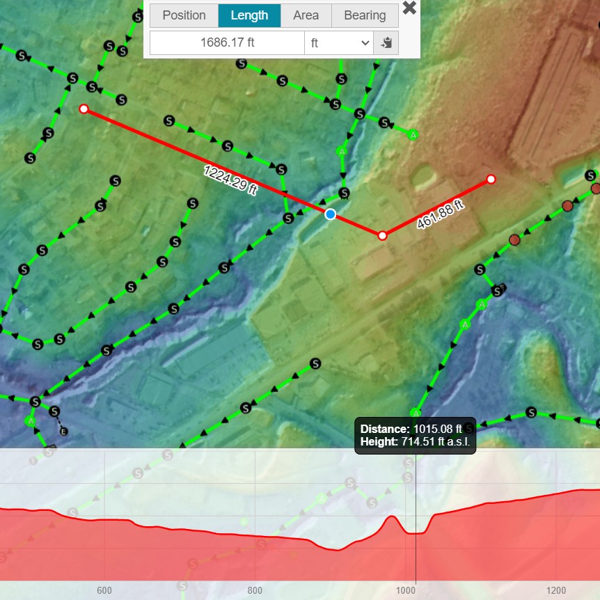
Measure distances and area
- Draw a line on the map to measure distance. Draw a shape freehand to measure areas. Choose the units (feet, meters, miles, etc.)
View elevation data and cross sections
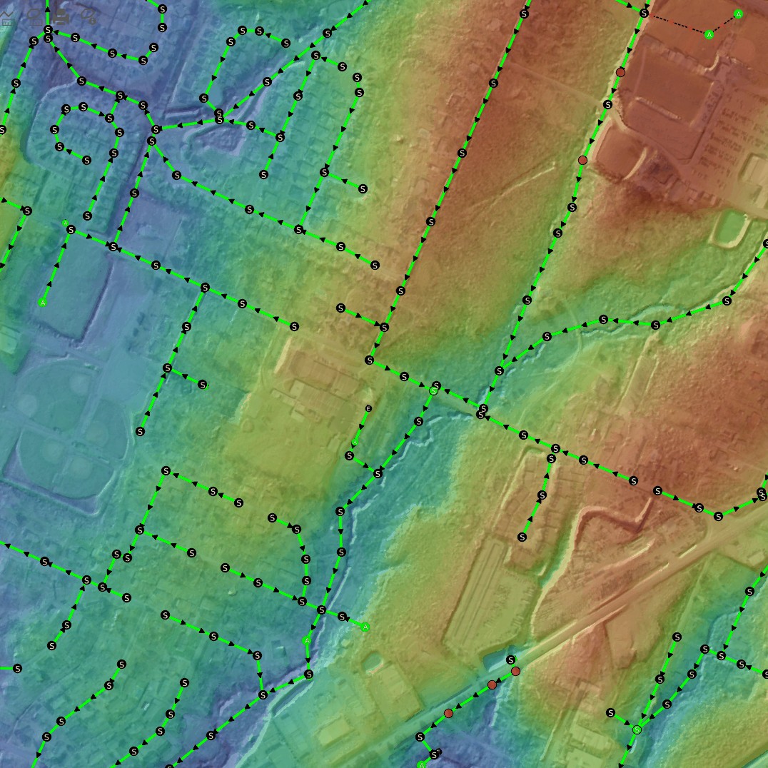
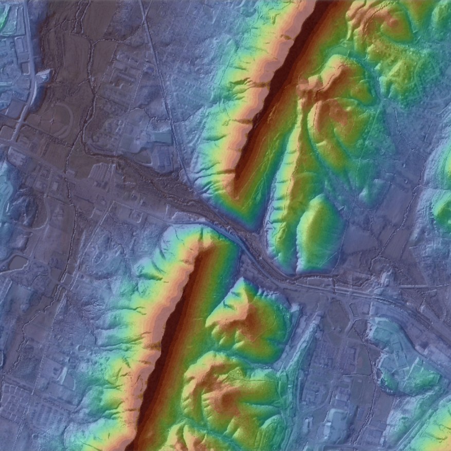
- The Web GIS supports colored elevation maps. Draw a line across the terrain to get a cross-section showing elevations along that line.
Password protect your Web GIS
- Set up usernames and passwords so that only authorized users can view your sensitive data. Or let anyone view them. It's up to you.
We host your Web GIS in the cloud
- We host all your Web GIS maps for you. The web maps are always available (99.99% uptime).
Pricing
- 500 MB Data
- One PostgreSQL Database
- Shared VPS
- One Web GIS
- Single Domain
- $80/hr Setup
- 2 GB Data
- Two PostgreSQL Databases
- Shared VPS
- Multiple Web GIS
- Multiple Domains
- $80/hr Setup
- 10 GB Data
- Ten PostgreSQL Databases
- Dedicated VPS
- Multiple Web GIS
- Multiple Domains
- $80/hr Setup
© 2023 designed by Issaaf Kattan
Design modified and content created by Rayner Howard
for Managerial Communications Fall 2023 Final Project
November 27, 2023


